
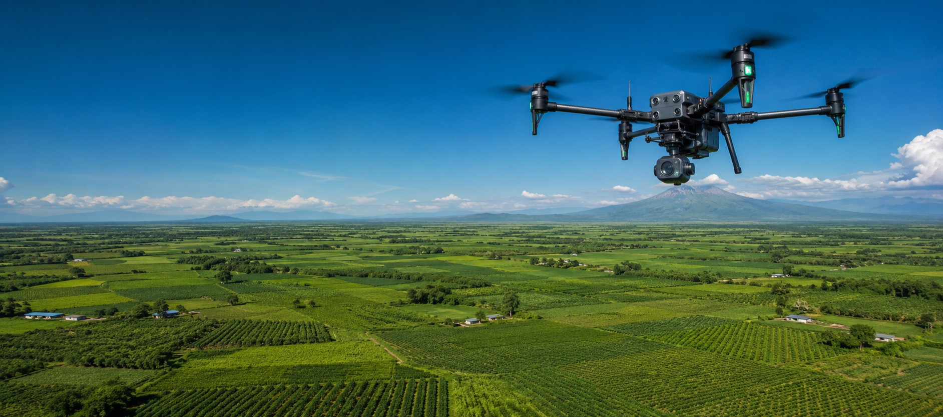
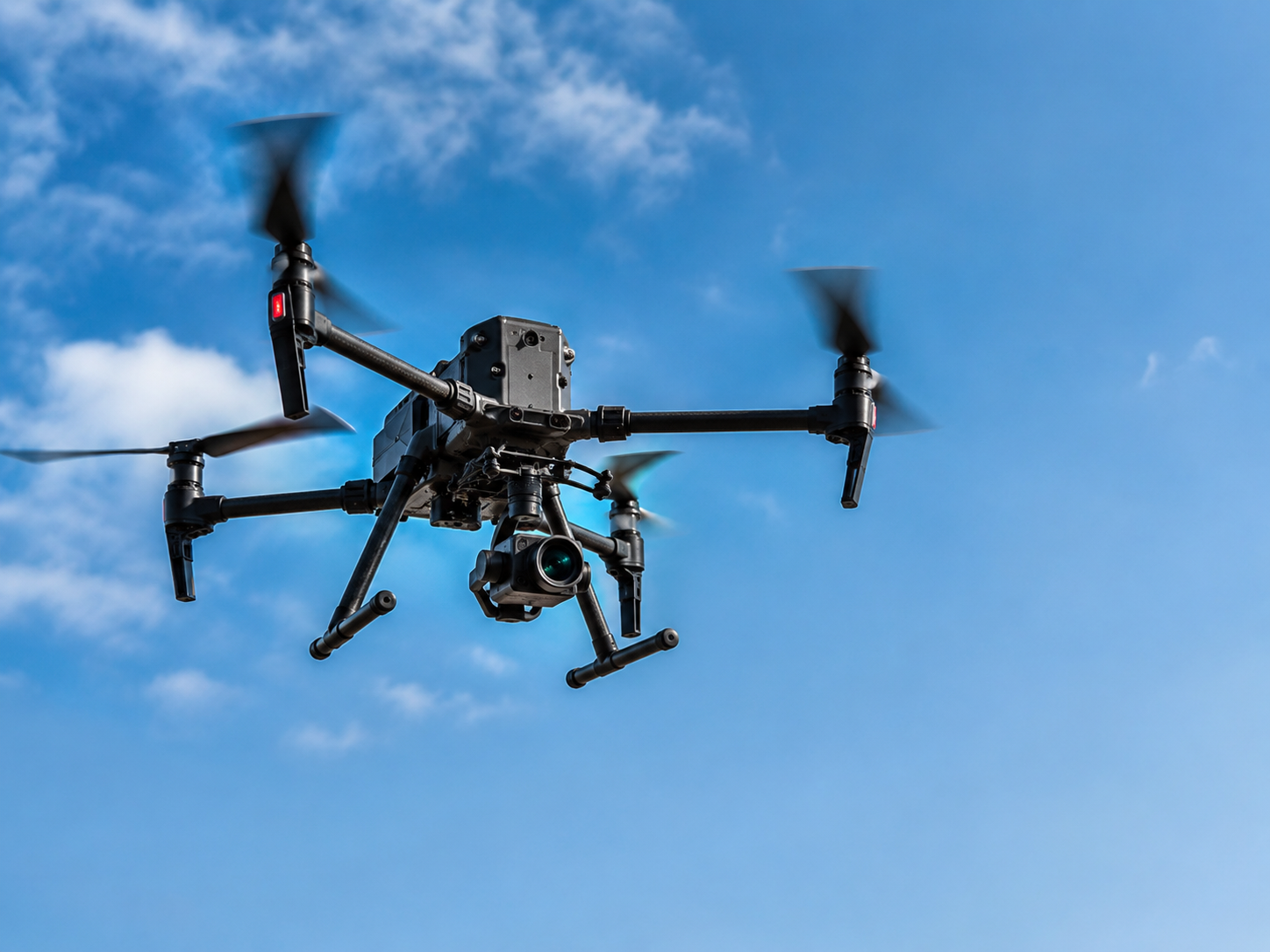
Our custom-designed unmanned systems deliver precise, efficient aerial data collection across mapping, security, and industrial inspections. We design, manufacture, and operate mission-ready UAS configurations tailored to commercial, government, and defence applications globally.
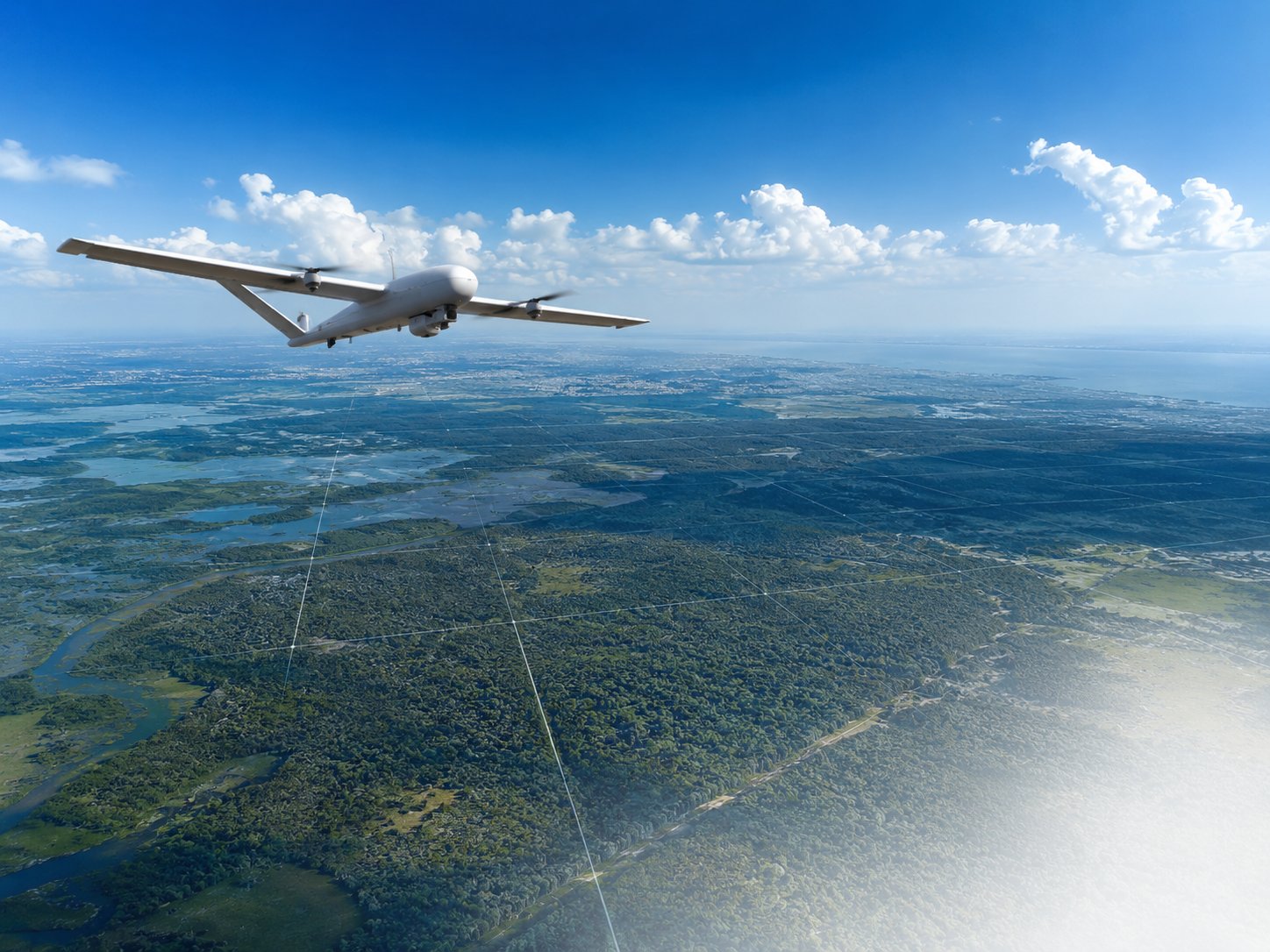
Turning the sky into an accurate, high-fidelity data source. We produce high-resolution orthomosaics, 3D digital terrain models (DTM/DEM), and precise geospatial intelligence for agricultural monitoring, construction progress, and infrastructure planning.
Providing expert safety, operational, and regulatory advisory services. We guide private and public operators through NCAA and ICAO compliance frameworks, from initial certifications (ROC/AOC) to auditing and operational best practices.

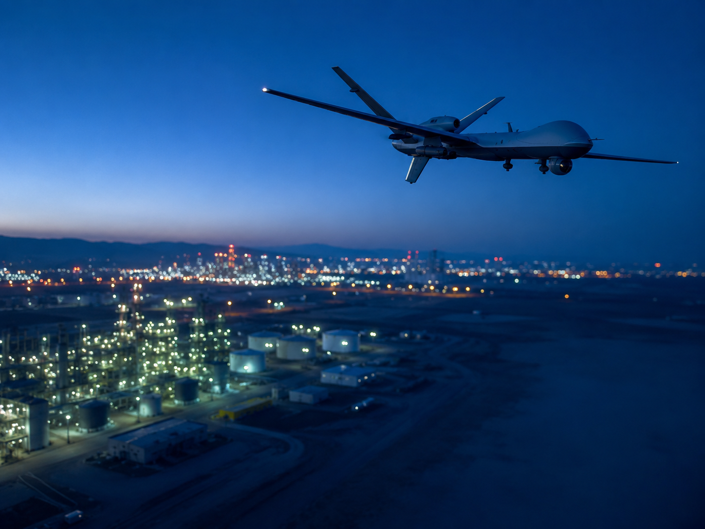
Deploying advanced tactical UAS for real-time monitoring and rapid-response situational awareness. Our systems provide critical intelligence, border patrol support, and perimeter security for defence forces and private security agencies.
Using drones to inspect critical infrastructure safely and efficiently. We assess pipelines, power transmission lines, wind turbines, cell towers, and bridge structures, capturing high-resolution condition data while reducing human risk and downtime.
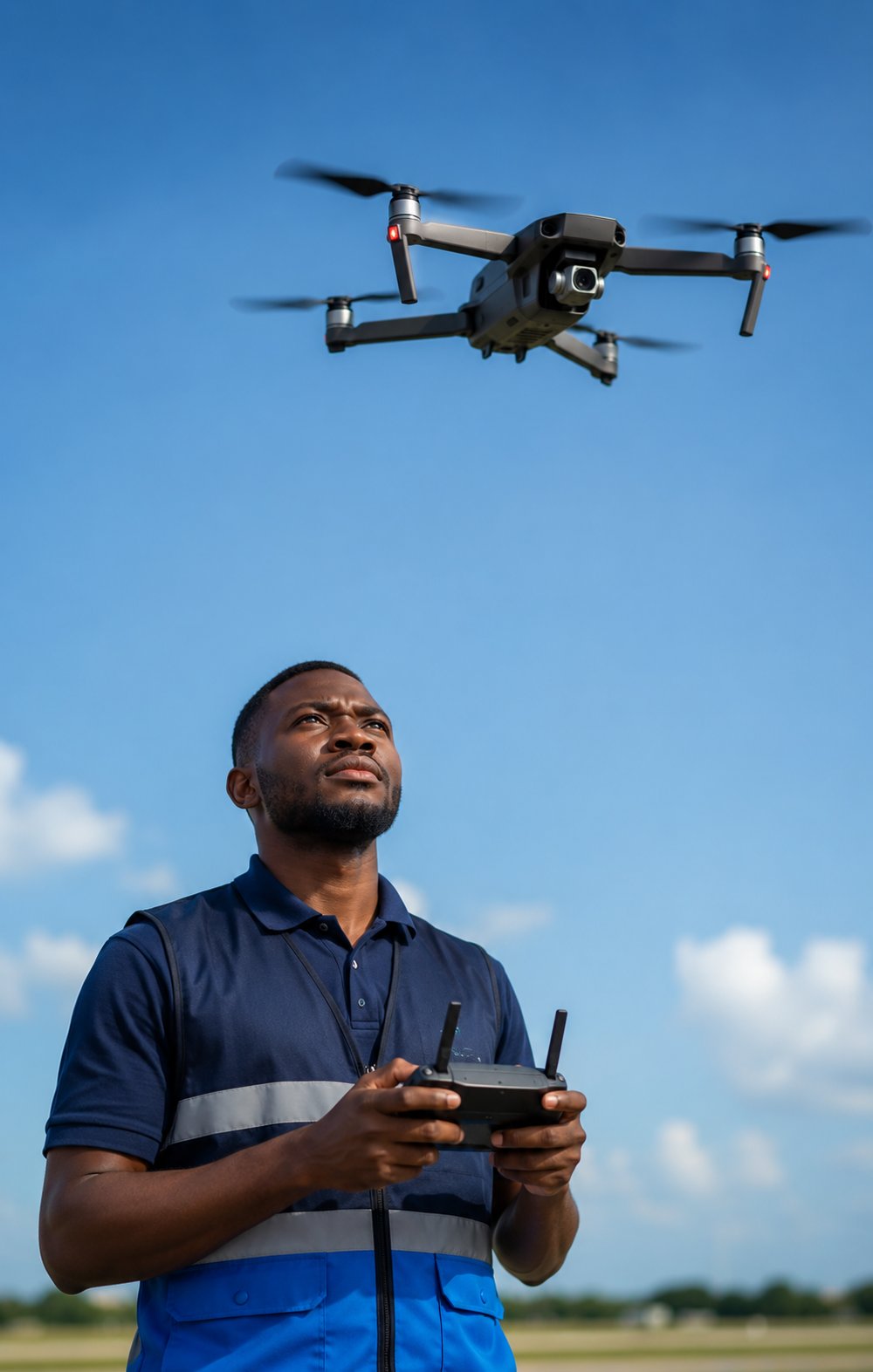
Advancing local aerospace capability through engineering innovation and professional education. We design and test new UAS technologies while equipping the next generation of Nigerian aerospace professionals with certified hands-on pilot training.
Abuja, Nigeria
Monday – Friday: 8:00am – 5:00pm WAT