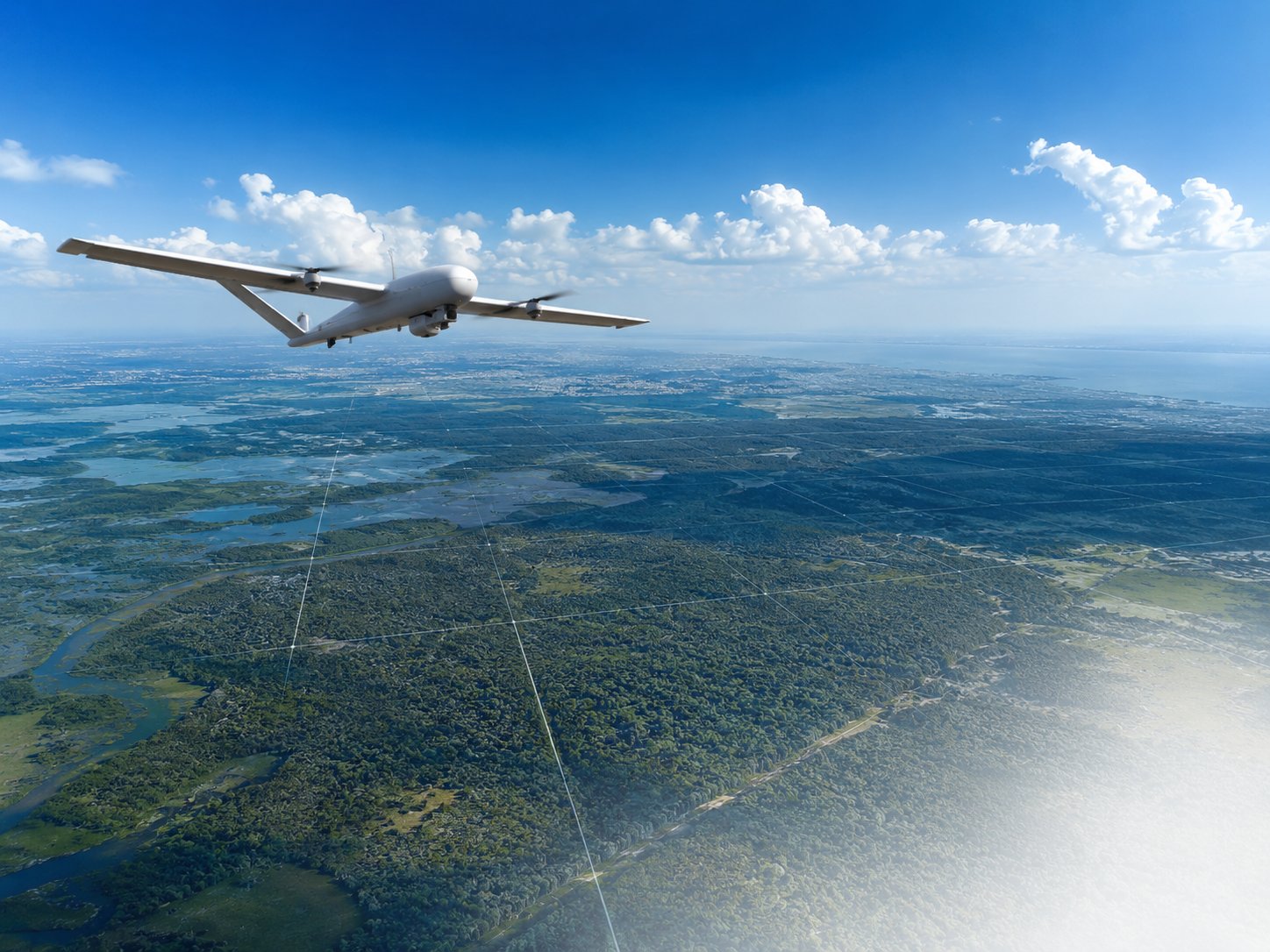
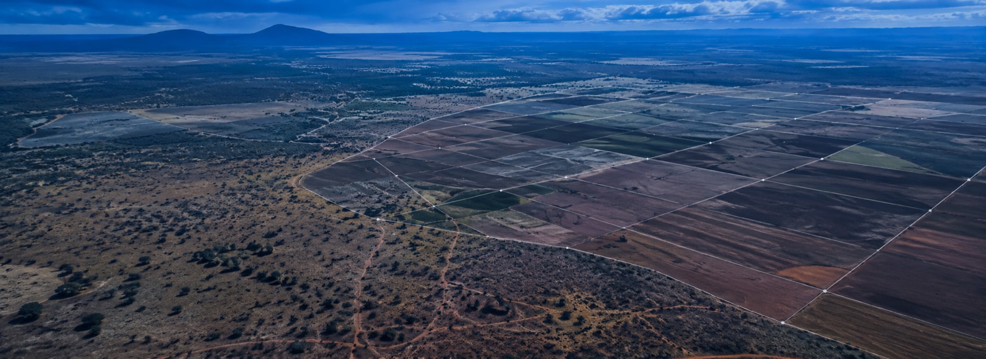
Turning the sky into an accurate, high-fidelity data source. We produce high-resolution orthomosaics, 3D digital terrain models (DTM/DEM), and precise geospatial intelligence for agricultural monitoring, construction progress, and infrastructure planning.
We're building a dedicated space for this division of Skyelines Aerospace Group. In the meantime, explore what we offer or get in touch directly.